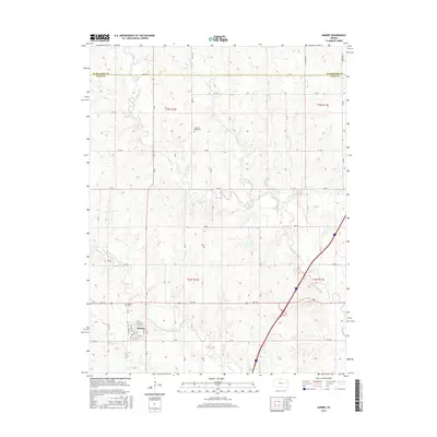
2015 Map of Admire
USGS Topo · Published 2015About this map
Admire occupies the southwestern portion of this landscape at the junction of several rural routes, serving as a localized hub within Lyon County. The town site is structured around a traditional grid with streets such as E 1st St and E 7th St, situated just north of the meandering Hill Creek. The surrounding terrain is defined by a dense network of watercourses, most notably the long stretch of One Hundred and Fortytwo Mile Creek and the eastern flow of Elm Creek.
Find a feature on this map
29 named features on this map. Tap any name to fly to it.
Don’t see what you’re looking for? This feature index may not catch every label — zoom into the map to look around manually.
Map Details
Editions of this 2015 Admire Map
This is the sole edition of this map. No revisions or reprints were ever made.
Other maps of this area

1885 · Eskridge
USGS Topo · 1:125,000

1889 · Burlingame
USGS Topo · 1:125,000

1889 · Eskridge
USGS Topo · 1:125,000

1894 · Eskridge
USGS Topo · 1:125,000

1894 · Burlingame
USGS Topo · 1:125,000

1947 · Lawrence
USGS Topo · 1:250,000

1950 · Lawrence
USGS Topo · 1:250,000

1952 · Harveyville
USGS Topo · 1:24,000

1955 · Hutchinson
USGS Topo · 1:250,000

1956 · Lawrence
USGS Topo · 1:250,000