
1931 Map of Adobe
USGS Topo · Published 1931About this map
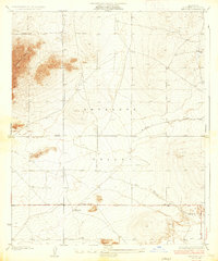
The high desert landscape of the Antelope Valley is documented here during a 1931 survey by R.G. Stevenson and the Board of Supervisors. This advance sheet focuses on the triple point where southern California county jurisdictions converge, prominently marking the Los Angeles Kern Co Bdy Line and the border between Los Angeles Co San Bernardino Co. The map reveals an emerging grid of desert roads, including Ave B and Avenue C, cutting across the arid terrain. Given its status as a preliminary topographic study subject to correction, the sheet provides a specialized look at the early surveying of these remote rural boundaries before significant development altered the region. The precision of the contour lines emphasizes the subtle elevation changes characteristic of this portion of the Mojave Desert floor.
Find a feature on this map
4 named features on this map. Tap any name to fly to it.
Don’t see what you’re looking for? This feature index may not catch every label — zoom into the map to look around manually.
Map Details
Editions of this 1931 Adobe Map
This is the sole edition of this map. No revisions or reprints were ever made.
Other maps of this area

1930 · El Mirage
USGS Topo · 1:24,000

1930 · Wilsona
USGS Topo · 1:24,000

1931 · Hi Vista
USGS Topo · 1:24,000

1933 · El Mirage
USGS Topo · 1:24,000

1934 · Adobe
USGS Topo · 1:24,000

1935 · Hi Vista
USGS Topo · 1:24,000
1935 · Wilsona
USGS Topo · 1:24,000

1937 · Shadow Mountains
USGS Topo · 1:48,000

1937 · Kramer
USGS Topo · 1:48,000

1942 · Kramer
USGS Topo · 1:62,500