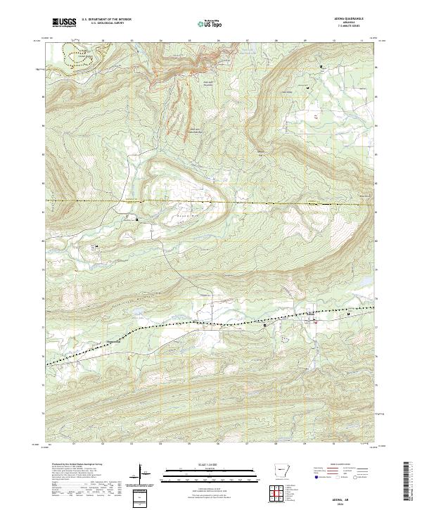
2024 Map of Adona
USGS Topo · Published 2024About this map
Petit Jean Mountain and its surrounding valleys define this landscape at the intersection of Yell, Conway, and Perry Counties. The northern heights are crisscrossed by hiking routes like the Winthrop P Rockefeller Boy Scout Trl and the Seven Hollows Trl, leading to landmarks such as the Petit Jean Natural Bridge and Cedar Falls. Below these bluffs, the terrain transitions into a more settled agricultural pattern characterized by small communities and rural family landmarks.
Find a feature on this map
69 named features on this map. Tap any name to fly to it.
Don’t see what you’re looking for? This feature index may not catch every label — zoom into the map to look around manually.
Map Details
Editions of this 2024 Adona Map
This is the sole edition of this map. No revisions or reprints were ever made.
Other maps of this area

1888 · Dardanelle #4
USGS Topo · 1:62,500

1889 · Morrilton No. 3
USGS Topo · 1:62,500

1890 · Benton
USGS Topo · 1:125,000

1890 · Hot Springs
USGS Topo · 1:125,000

1890 · Dardanelle
USGS Topo · 1:125,000

1892 · Morrillton
USGS Topo · 1:125,000

1894 · Morrillton
USGS Topo · 1:125,000

1894 · Hot Springs
USGS Topo · 1:125,000

1894 · Benton
USGS Topo · 1:125,000

1955 · Little Rock
USGS Topo · 1:250,000