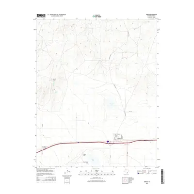
2016 Map of Adrian
USGS Topo · Published 2016About this map
Adrian sits at the heart of this High Plains landscape, where the linear geometry of Interstate 40 and local streets like Grand Ave and Elm Ave meet the winding drainages of the Texas Panhandle. To the west lies Gruhlkey, another point of settlement along the primary transit corridor that cuts across Oldham County. The terrain is defined by a series of north-flowing intermittent streams, including Las Arches Cr and Bluff Cr, which carve into the caprock environment.
Find a feature on this map
24 named features on this map. Tap any name to fly to it.
Don’t see what you’re looking for? This feature index may not catch every label — zoom into the map to look around manually.
Map Details
Editions of this 2016 Adrian Map
This is the sole edition of this map. No revisions or reprints were ever made.
Other maps of this area

1954 · Tucumcari
USGS Topo · 1:250,000

1958 · Tucumcari
USGS Topo · 1:250,000

1966 · Boise
USGS Topo · 1:24,000

1966 · Alamocitos Camp
USGS Topo · 1:24,000

1966 · Simms NW
USGS Topo · 1:24,000

1966 · Simms NE
USGS Topo · 1:24,000

1966 · Adrian
USGS Topo · 1:24,000

1966 · Signal Spring SE
USGS Topo · 1:24,000

1966 · Big George Tank
USGS Topo · 1:24,000

1966 · Landergin
USGS Topo · 1:24,000