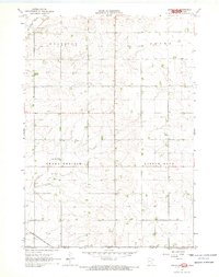
1967 Map of Adrian SW
USGS Topo · Published 1969About this map
The rolling terrain of the Upper Midwest is captured along the state line between Minnesota and Iowa in the mid-1960s. This agricultural landscape in Nobles and Lyon Counties is defined by its township grid and the watercourses that cut through the prairie soil. The southwestern corner of the sheet is dominated by the corridor of the Chicago Rock Island and Pacific railroad, which provided a vital transportation link for the region's farming economy.
Find a feature on this map
10 named features on this map. Tap any name to fly to it.
Don’t see what you’re looking for? This feature index may not catch every label — zoom into the map to look around manually.
Map Details
Editions of this 1967 Adrian SW Map
2 editions found
Other maps of this area

1954 · Fairmont
USGS Topo · 1:250,000

1955 · Sioux Falls
USGS Topo · 1:250,000

1958 · Sioux Falls
USGS Topo · 1:250,000

1958 · Fairmont
USGS Topo · 1:250,000

1967 · Magnolia
USGS Topo · 1:24,000

1967 · Rushmore
USGS Topo · 1:24,000

1967 · Adrian SW
USGS Topo · 1:24,000

1967 · Adrian NE
USGS Topo · 1:24,000

1967 · Adrian
USGS Topo · 1:24,000

1967 · Ellsworth
USGS Topo · 1:24,000