
2011 Map of Advent Gulch
USGS Topo · Published 2011About this map
Pine Creek and East Pine Creek carve through this Idaho landscape, providing a primary drainage network for the mountainous terrain of Washington County. A series of forest access routes, including Cow Camp Rd and Seid Creek Rd, trace the ridgelines and valley floors, indicating the area's ongoing use for ranching and forest management. The presence of the Natl Forest Develop Road 046 Trl highlights the transition from traditional vehicle roads to more specialized forest trails.
Find a feature on this map
11 named features on this map. Tap any name to fly to it.
Don’t see what you’re looking for? This feature index may not catch every label — zoom into the map to look around manually.
Map Details
Editions of this 2011 Advent Gulch Map
This is the sole edition of this map. No revisions or reprints were ever made.
Other maps of this area

1955 · Baker
USGS Topo · 1:250,000

1957 · Cambridge
USGS Topo · 1:62,500

1957 · Copperfield
USGS Topo · 1:62,500

1957 · Hornet
USGS Topo · 1:62,500

1957 · Sturgill Peak
USGS Topo · 1:62,500

1959 · Baker
USGS Topo · 1:250,000

1980 · McCall
USGS Topo · 1:100,000
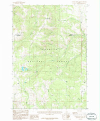
1986 · Crooked River Point
USGS Topo · 1:24,000
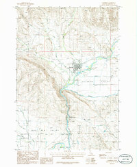
1986 · Cambridge
USGS Topo · 1:24,000
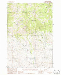
1986 · Rush Peak
USGS Topo · 1:24,000