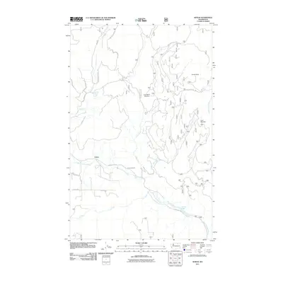
2011 Map of Aeneas
USGS Topo · Published 2011About this map
Aeneas sits at the heart of this high-country landscape within the Okanogan National Forest, where the topography is defined by the winding course of the West Fork Sanpoil River. This 2011 survey captures a remote ranching and forest-service corridor where human activity is largely concentrated along Aeneas Valley Rd. The map illustrates the transition from the river basin to prominent high points like Cornell Butte and Coco Mountain, reflecting a landscape managed for both utility and conservation.
Find a feature on this map
26 named features on this map. Tap any name to fly to it.
Don’t see what you’re looking for? This feature index may not catch every label — zoom into the map to look around manually.
Map Details
Editions of this 2011 Aeneas Map
This is the sole edition of this map. No revisions or reprints were ever made.
Other maps of this area

1902 · Osoyoos
USGS Topo · 1:125,000

1904 · Osoyoos
USGS Topo · 1:125,000

1904 · Republic
USGS Topo · 1:125,000

1951 · Wauconda
USGS Topo · 1:62,500

1952 · Disautel
USGS Topo · 1:62,500

1953 · Bald Knob
USGS Topo · 1:62,500

1954 · Okanogan
USGS Topo · 1:250,000

1957 · Aeneas Valley
USGS Topo · 1:62,500

1958 · Okanogan
USGS Topo · 1:250,000

1958 · Aeneas
USGS Topo · 1:62,500