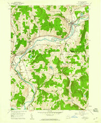
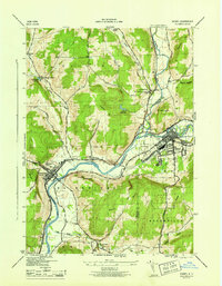
1957 Map of Afton
USGS Topo · Published 1959About this map
The Susquehanna River carves a deep valley through this mid-century landscape, serving as the primary corridor for both the Delaware and Hudson railroad and a string of riverside communities. From Afton in the northeast to Harpursville and Center Village in the southwest, the river's path dictates the placement of industry and transport. The Fairgrounds near Afton and the Substation at Nineveh Junction highlight the commercial and infrastructural activity concentrated along the water.
Find a feature on this map
57 named features on this map. Tap any name to fly to it.
Don’t see what you’re looking for? This feature index may not catch every label — zoom into the map to look around manually.
Map Details
Editions of this 1957 Afton Map
4 editions found
Other maps of this area

1902 · Coventry
USGS Topo · 1:62,500

1904 · Oxford
USGS Topo · 1:62,500

1905 · Nineveh
USGS Topo · 1:62,500

1915 · Unadilla
USGS Topo · 1:62,500

1918 · Unadilla
USGS Topo · 1:62,500

1924 · Deposit
USGS Topo · 1:62,500

1926 · Deposit
USGS Topo · 1:62,500

1943 · Sidney
USGS Topo · 1:24,000

1944 · Deposit
USGS Topo · 1:62,500
1945 · Sidney
USGS Topo · 1:31,680