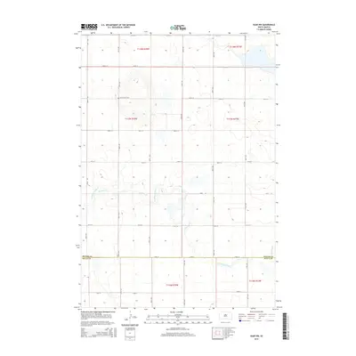
2015 Map of Agar NW
USGS Topo · Published 2015About this map
Petro Family Cem sits alone on a rise in the northwest quadrant of this landscape, marking a small family interment site in a region of high, open plains. The area is defined by the winding course of Artichoke Creek (also labeled Artichoke Cr), which meanders through the southern half of the map before crossing the Potter Co Sully Co boundary. The terrain is characterized by a high-density grid of section lines and gravel roads, such as 297th Ave and 172nd St, which organize the vast agricultural and ranching parcels. The map provides a clear look at the drainage patterns of the Missouri River plateau just before it drops toward the river valley to the west, showing the subtle draws and intermittent basins typical of central South Dakota's geography.
Find a feature on this map
25 named features on this map. Tap any name to fly to it.
Don’t see what you’re looking for? This feature index may not catch every label — zoom into the map to look around manually.
Map Details
Editions of this 2015 Agar NW Map
This is the sole edition of this map. No revisions or reprints were ever made.
Other maps of this area

1953 · McIntosh
USGS Topo · 1:250,000

1954 · Pierre
USGS Topo · 1:250,000

1958 · Pierre
USGS Topo · 1:250,000

1958 · McIntosh
USGS Topo · 1:250,000

1965 · Artichoke Butte
USGS Topo · 1:24,000

1965 · Agar SW
USGS Topo · 1:24,000

1965 · Agar
USGS Topo · 1:24,000

1969 · Patch Skin Buttes SE
USGS Topo · 1:24,000

1970 · Lake Hurley
USGS Topo · 1:24,000

1970 · Agar NW
USGS Topo · 1:24,000