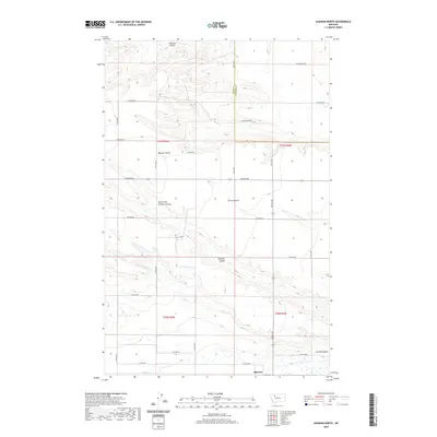
2020 Map of Agawam North
USGS Topo · Published 2020About this map
Agawam sits at the southern edge of this Teton County landscape, where the agricultural plains meet the intricate drainage systems of the Montana high country. The terrain is defined by a network of seasonal watercourses and irrigation infrastructure, including the Bynum Canal and C Canal, which support farming across the prominent Porter Bench. This survey provides a contemporary view of a region defined by its hydrography, tracing the winding paths of Pondera Coulee in the north and the extensive Farmers Coulee system that cuts through the central sections. The grid of rural roads, such as Black Gold RD and Oil Field RD, highlights the dual nature of the local economy, where traditional ranching land intersects with resource extraction. For those studying the evolution of water rights and land use in the Teton and Pondera county borderlands, the map offers precise detail on the relationship between natural coulees and man-made waterways.
Find a feature on this map
33 named features on this map. Tap any name to fly to it.
Don’t see what you’re looking for? This feature index may not catch every label — zoom into the map to look around manually.
Map Details
Editions of this 2020 Agawam North Map
This is the sole edition of this map. No revisions or reprints were ever made.
Other maps of this area

1920 · Choteau
USGS Topo · 1:125,000

1920 · Dupuyer
USGS Topo · 1:125,000

1936 · Pendroy
USGS Topo · 1:48,000

1938 · Gallup City
USGS Topo · 1:62,500

1941 · Pendroy
USGS Topo · 1:62,500

1942 · Gallup City
USGS Topo · 1:62,500

1955 · Choteau
USGS Topo · 1:250,000

1957 · Choteau
USGS Topo · 1:250,000

1958 · Choteau
USGS Topo · 1:250,000

1960 · Bynum
USGS Topo · 1:62,500