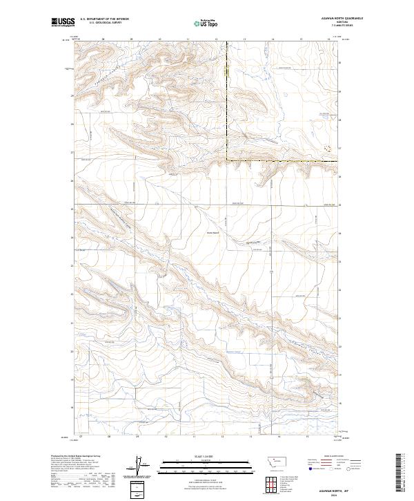
2024 Map of Agawam North
USGS Topo · Published 2024About this map
The Teton Co Pondera Co line bisects this agricultural landscape, where the high flat of Porter Bench stands above a complex network of seasonal drainages and irrigation infrastructure. The terrain is defined by its coulees, with Pondera Coulee in the north and the converging waters of Farmers Coulee, North Fork Farmers Coulee, and Spring Coulee to the south. This modern survey illustrates the critical role of water management in the region, tracing the paths of the Bynum Canal and C Canal as they wind through the breaks. Named roads such as Jones Ranch Ln and Hanson Rd hint at the generational ranching and farming history of the area, while the presence of Black Gold Rd and Oil Field Rd points to the continued significance of the energy industry in this part of Montana.
Find a feature on this map
25 named features on this map. Tap any name to fly to it.
Don’t see what you’re looking for? This feature index may not catch every label — zoom into the map to look around manually.
Map Details
Editions of this 2024 Agawam North Map
This is the sole edition of this map. No revisions or reprints were ever made.
Other maps of this area

1920 · Choteau
USGS Topo · 1:125,000

1920 · Dupuyer
USGS Topo · 1:125,000

1936 · Pendroy
USGS Topo · 1:48,000

1938 · Gallup City
USGS Topo · 1:62,500

1941 · Pendroy
USGS Topo · 1:62,500

1942 · Gallup City
USGS Topo · 1:62,500

1955 · Choteau
USGS Topo · 1:250,000

1957 · Choteau
USGS Topo · 1:250,000

1958 · Choteau
USGS Topo · 1:250,000

1960 · Bynum
USGS Topo · 1:62,500