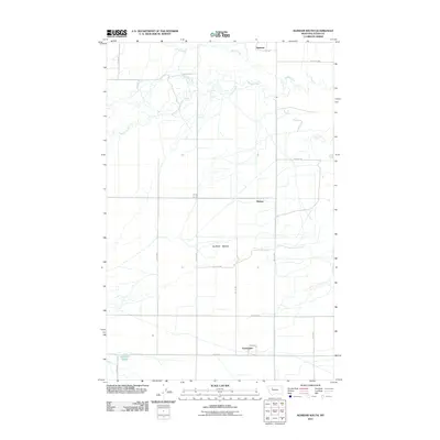
2011 Map of Agawam South
USGS Topo · Published 2011About this map
Farmington and the surrounding agricultural lands of Teton County are documented here in the early 21st century, showing a landscape defined by an orderly grid of section-line roads and the winding paths of prairie waterways. This region, characterized by significant terrain features like Burton Bench and the Rosebud area, relies on a network of drainages including Muddy Creek and Foster Creek which meander through the high plains. The map illustrates the sparsely populated settlement pattern typical of this part of Montana, where small communities like Agawam and Malone serve as focal points for the surrounding rural territory. In the southwest corner, Glendora Lake provides a localized water feature amidst the expansive western landscape, while the detailed road network, from 19th Rd NW to 27th Rd NW, reveals the essential infrastructure connecting these remote ranching and farming operations.
Find a feature on this map
21 named features on this map. Tap any name to fly to it.
Don’t see what you’re looking for? This feature index may not catch every label — zoom into the map to look around manually.
Map Details
Editions of this 2011 Agawam South Map
This is the sole edition of this map. No revisions or reprints were ever made.
Other maps of this area

1920 · Choteau
USGS Topo · 1:125,000

1920 · Dupuyer
USGS Topo · 1:125,000

1936 · Pendroy
USGS Topo · 1:48,000

1938 · Gallup City
USGS Topo · 1:62,500

1941 · Pendroy
USGS Topo · 1:62,500

1942 · Gallup City
USGS Topo · 1:62,500

1955 · Choteau
USGS Topo · 1:250,000

1957 · Choteau
USGS Topo · 1:250,000

1958 · Choteau
USGS Topo · 1:250,000

1960 · Bynum
USGS Topo · 1:62,500