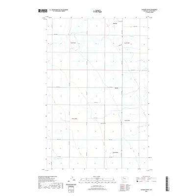
2020 Map of Agawam South
USGS Topo · Published 2020About this map
Farmington and the surrounding agricultural tracts of Teton County are documented in this high-resolution topographic study. The landscape is defined by the significant rise of Burton Bench, a prominent plateau that overlooks the drainage networks of Muddy Cr and Jones Cr. Small, rural settlements such as Malone and Agawam serve as focal points for a grid of named roads like Cowboy Way and Othala Ln, which connect isolated farmsteads across the township lines of T26N and T25N. To the south, the terrain descends toward Glendora Lake, illustrating the water management patterns essential to this portion of Montana. The map provides a clear look at the intersection of natural hydrology and the rectilinear land survey system that continues to shape the region's rural character.
Find a feature on this map
28 named features on this map. Tap any name to fly to it.
Don’t see what you’re looking for? This feature index may not catch every label — zoom into the map to look around manually.
Map Details
Editions of this 2020 Agawam South Map
This is the sole edition of this map. No revisions or reprints were ever made.
Other maps of this area

1920 · Choteau
USGS Topo · 1:125,000

1920 · Dupuyer
USGS Topo · 1:125,000

1936 · Pendroy
USGS Topo · 1:48,000

1938 · Gallup City
USGS Topo · 1:62,500

1941 · Pendroy
USGS Topo · 1:62,500

1942 · Gallup City
USGS Topo · 1:62,500

1955 · Choteau
USGS Topo · 1:250,000

1957 · Choteau
USGS Topo · 1:250,000

1958 · Choteau
USGS Topo · 1:250,000

1960 · Bynum
USGS Topo · 1:62,500