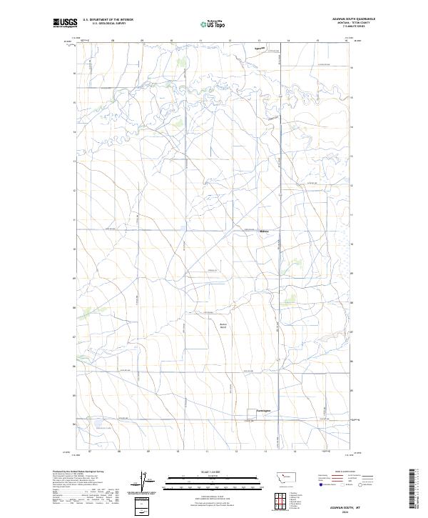
2024 Map of Agawam South
USGS Topo · Published 2024About this map
Agawam and Malone anchor the northern reaches of this Teton County landscape, where the high plains of Montana meet the systematic grid of rural section lines. The terrain is defined by significant hydrological features like Muddy Creek and Jones Creek, which meander through the northern townships, and Glendora Lake in the southwest. A notable geographical feature, Burton Bench, creates a distinct topographical rise between the smaller settlements.
Find a feature on this map
29 named features on this map. Tap any name to fly to it.
Don’t see what you’re looking for? This feature index may not catch every label — zoom into the map to look around manually.
Map Details
Editions of this 2024 Agawam South Map
This is the sole edition of this map. No revisions or reprints were ever made.
Other maps of this area

1920 · Choteau
USGS Topo · 1:125,000

1920 · Dupuyer
USGS Topo · 1:125,000

1936 · Pendroy
USGS Topo · 1:48,000

1938 · Gallup City
USGS Topo · 1:62,500

1941 · Pendroy
USGS Topo · 1:62,500

1942 · Gallup City
USGS Topo · 1:62,500

1955 · Choteau
USGS Topo · 1:250,000

1957 · Choteau
USGS Topo · 1:250,000

1958 · Choteau
USGS Topo · 1:250,000

1960 · Bynum
USGS Topo · 1:62,500