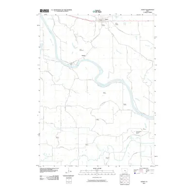
2010 Map of Agency
USGS Topo · Published 2010About this map
The Des Moines River winds through this rural Iowa landscape, defining the character of a region where historic settlements and family burial grounds are deeply woven into the topography. The town of Agency serves as a primary hub, north of the river and home to the Agency Post Office and Agency Cemetery. Just to the east lies the Chief Wapello Cemetery, a site of significant local historical importance. Further south along the riverbanks, the terrain transitions into a more wooded environment, where the Cliffland River Access provides a gateway to the water near the settlement of Cliffland. This area is notable for its high density of rural cemeteries, including Sedore Cemetery, Railback Cemetery, and Mars Hill Cemetery, which offer valuable points of reference for genealogists tracing early residents. The southern reaches of the map show the branching of Little Soap Creek and Soap Creek, highlighting a landscape shaped by narrow tributaries and small woodland preserves like the New Laddsdale Woodland Retreat.
Find a feature on this map
58 named features on this map. Tap any name to fly to it.
Don’t see what you’re looking for? This feature index may not catch every label — zoom into the map to look around manually.
Map Details
Editions of this 2010 Agency Map
This is the sole edition of this map. No revisions or reprints were ever made.
Other maps of this area

1954 · Centerville
USGS Topo · 1:250,000

1954 · Des Moines
USGS Topo · 1:250,000

1956 · Des Moines
USGS Topo · 1:250,000

1956 · Farson
USGS Topo · 1:24,000

1956 · Agency
USGS Topo · 1:24,000

1956 · Ottumwa North
USGS Topo · 1:62,500

1956 · Ottumwa South
USGS Topo · 1:24,000

1956 · Ottumwa South
USGS Topo · 1:62,500

1956 · Ottumwa North
USGS Topo · 1:24,000

1957 · Des Moines
USGS Topo · 1:250,000