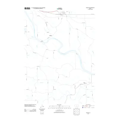
2013 Map of Agency
USGS Topo · Published 2013About this map
The Des Moines River winds through the heart of this landscape, anchoring the small settlement of Agency near the northern edge. This area exhibits a distinct transition from the grid-patterned streets of the town center to the meandering rural routes following the river's bend, such as River Rd and Cemetery Rd. Local landmarks including Camp Arrowhead and the Cliffland River Access emphasize the importance of the river for recreation and community activity.
Find a feature on this map
70 named features on this map. Tap any name to fly to it.
Don’t see what you’re looking for? This feature index may not catch every label — zoom into the map to look around manually.
Map Details
Editions of this 2013 Agency Map
This is the sole edition of this map. No revisions or reprints were ever made.
Other maps of this area

1954 · Centerville
USGS Topo · 1:250,000

1954 · Des Moines
USGS Topo · 1:250,000

1956 · Des Moines
USGS Topo · 1:250,000

1956 · Farson
USGS Topo · 1:24,000

1956 · Agency
USGS Topo · 1:24,000

1956 · Ottumwa North
USGS Topo · 1:62,500

1956 · Ottumwa South
USGS Topo · 1:24,000

1956 · Ottumwa South
USGS Topo · 1:62,500

1956 · Ottumwa North
USGS Topo · 1:24,000

1957 · Des Moines
USGS Topo · 1:250,000