
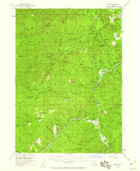
1954 Map of Agness
USGS Topo · Published 1956About this map
Agness and Illahe serve as the primary human outposts in this 1954 topographical study, positioned where the Rogue River meets its tributaries deep within the Siskiyou National Forest. The landscape is defined by the confluence of the Rogue and Illinois River, showing a network of mountain peaks like Potato Illahe Mtn and Ophir Mtn. The map reveals the infrastructure of mid-century forest management and wilderness access, featuring numerous campgrounds such as Daphne Grove Campground, specialized areas like the Port Orford Experimental Forest, and several lookouts and wells.
Find a feature on this map
86 named features on this map. Tap any name to fly to it.
Don’t see what you’re looking for? This feature index may not catch every label — zoom into the map to look around manually.
Map Details
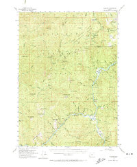
Editions of this 1954 Agness Map
3 editions found
Other maps of this area

1899 · Port Orford
USGS Topo · 1:125,000

1903 · Port Orford
USGS Topo · 1:125,000

1917 · Kerby
USGS Topo · 1:125,000

1918 · Kerby
USGS Topo · 1:125,000

1945 · Kerby
USGS Topo · 1:125,000

1954 · Coos Bay
USGS Topo · 1:250,000

1954 · Bone Mountain
USGS Topo · 1:62,500

1954 · Marial
USGS Topo · 1:62,500

1954 · Port Orford
USGS Topo · 1:62,500

1954 · Gold Beach
USGS Topo · 1:62,500