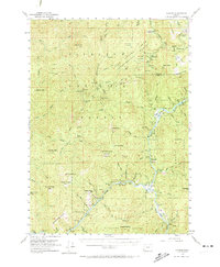
1954 Map of Agness
USGS Topo · Published 1974About this map
The confluence of the Rogue River and the Illinois River anchors this 1954 survey of the southwestern Oregon wilderness, highlighting the small settlement of Agness and its local Ranger Station. This area is characterized by dense forest management within the Siskiyou National Forest and the Port Orford Experimental Forest, where timber and recreational resources meet. The map reveals a landscape defined by high peaks and ridges, including Iron Mountain and Lake of the Woods Mountain, interspersed with scattered developments like the Daphne Grove Campground and several mountain lookouts. Genealogists and local historians will find the remote Cemetery near the Illinois River particularly noteworthy, along with named clearings and landmarks like Steffin Meadow and Soldier Camp Mtn. The detailed river hydrography, featuring the Illahe Riffle and Twomile Rapids, underscores the importance of these waterways as the primary corridors through the steep coastal ranges.
Find a feature on this map
91 named features on this map. Tap any name to fly to it.
Don’t see what you’re looking for? This feature index may not catch every label — zoom into the map to look around manually.
Map Details
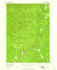
Editions of this 1954 Agness Map
3 editions found

Other maps of this area

1899 · Port Orford
USGS Topo · 1:125,000

1903 · Port Orford
USGS Topo · 1:125,000

1917 · Kerby
USGS Topo · 1:125,000

1918 · Kerby
USGS Topo · 1:125,000

1945 · Kerby
USGS Topo · 1:125,000

1954 · Coos Bay
USGS Topo · 1:250,000

1954 · Bone Mountain
USGS Topo · 1:62,500

1954 · Marial
USGS Topo · 1:62,500

1954 · Port Orford
USGS Topo · 1:62,500

1954 · Gold Beach
USGS Topo · 1:62,500