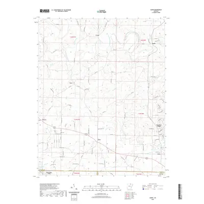
2020 Map of Agnos
USGS Topo · Published 2020About this map
Agnos and the surrounding Ozark foothills of Fulton, Izard, and Sharp Counties are defined by the winding course of the South Fork Spring River. The landscape is a network of small, established settlements like French, Heart, and Saddle, connected by narrow country roads such as Possum Trot Rd and Walking Horse Ln. To the east, the residential developments of Cherokee Village contrast with the more open terrain of the western townships. Genealogists and local historians will find value in the precise locations of the Rhoads Cem near Glencoe and the Humphries Cem located just north of the county line. The map records a rural environment where water remains the primary landmark, from the drainage of Lick Cr to the quiet waters of Timber Lake.
Find a feature on this map
110 named features on this map. Tap any name to fly to it.
Don’t see what you’re looking for? This feature index may not catch every label — zoom into the map to look around manually.
Map Details
Editions of this 2020 Agnos Map
This is the sole edition of this map. No revisions or reprints were ever made.
Other maps of this area

1950 · Salem
USGS Topo · 1:62,500

1951 · Salem
USGS Topo · 1:62,500

1951 · Melbourne
USGS Topo · 1:62,500

1957 · Poplar Bluff
USGS Topo · 1:250,000

1959 · Poplar Bluff
USGS Topo · 1:250,000

1960 · Poplar Bluff
USGS Topo · 1:250,000

1962 · Stuart
USGS Topo · 1:24,000

1962 · Ash Flat
USGS Topo · 1:24,000

1962 · Myron
USGS Topo · 1:24,000

1962 · Agnos
USGS Topo · 1:24,000