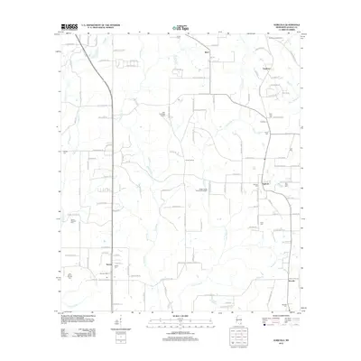
2012 Map of Agricola
USGS Topo · Published 2012About this map
Agricola and the surrounding rural communities of George County are defined by a complex network of tributaries feeding into the Pascagoula River system. The landscape is characterized by the meandering courses of Big Cedar Cr and Little Cedar Cr, which dictate the placement of early settlements and family-named roads. Local history is deeply rooted in the numerous cemeteries scattered across the quadrangle, such as Agricola Cem, Barton Cem, and the Old Mount Pleasant Cem, many of which sit adjacent to historic church sites. The presence of specialized aviation facilities like Sky Landings Airport and Cedar Creek Air Ranch Airport reflects a transition from traditional agricultural land use to more modern utility. Further north, the Shipman Lookout Tower and Parker Lookout stand as markers of forest management in this timber-rich region of Mississippi.
Find a feature on this map
126 named features on this map. Tap any name to fly to it.
Don’t see what you’re looking for? This feature index may not catch every label — zoom into the map to look around manually.
Map Details
Editions of this 2012 Agricola Map
This is the sole edition of this map. No revisions or reprints were ever made.
Other maps of this area

1941 · Hurley
USGS Topo · 1:62,500

1941 · Vancleave
USGS Topo · 1:62,500

1941 · Lucedale
USGS Topo · 1:62,500

1942 · Wilmer
USGS Topo · 1:62,500

1943 · Lucedale
USGS Topo · 1:62,500

1943 · Hurley
USGS Topo · 1:62,500

1943 · Vancleave
USGS Topo · 1:62,500

1944 · Wilmer
USGS Topo · 1:62,500

1944 · Vancleave
USGS Topo · 1:62,500

1953 · Mobile
USGS Topo · 1:250,000