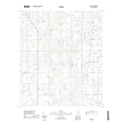
2018 Map of Agricola
USGS Topo · Published 2018About this map
Agricola and Movella anchor this rural landscape in George County, where the network of country roads reveals a long-standing community structure. The terrain is defined by the drainages of Big Cedar Cr and Little Cedar Cr, with smaller tributaries like Blue Spring Br and Byrd Mill Br carving through the countryside. For those tracing family histories, the map identifies numerous small burial grounds, including Union Cem near the northern boundary and the Finch Cem in the east.
Find a feature on this map
128 named features on this map. Tap any name to fly to it.
Don’t see what you’re looking for? This feature index may not catch every label — zoom into the map to look around manually.
Map Details
Editions of this 2018 Agricola Map
This is the sole edition of this map. No revisions or reprints were ever made.
Other maps of this area
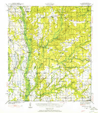
1941 · Hurley
USGS Topo · 1:62,500
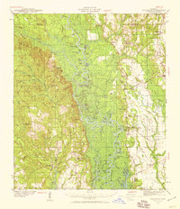
1941 · Vancleave
USGS Topo · 1:62,500
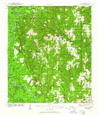
1941 · Lucedale
USGS Topo · 1:62,500
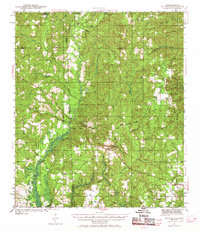
1942 · Wilmer
USGS Topo · 1:62,500
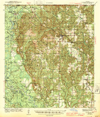
1943 · Lucedale
USGS Topo · 1:62,500
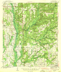
1943 · Hurley
USGS Topo · 1:62,500
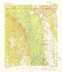
1943 · Vancleave
USGS Topo · 1:62,500
1944 · Wilmer
USGS Topo · 1:62,500
1944 · Vancleave
USGS Topo · 1:62,500

1953 · Mobile
USGS Topo · 1:250,000