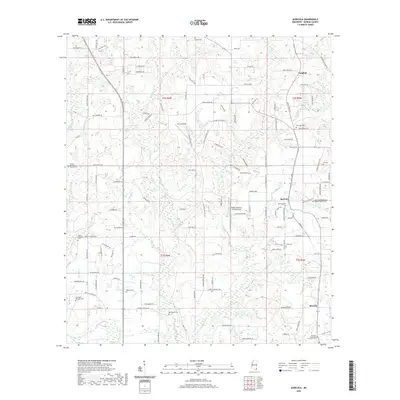
2020 Map of Agricola
USGS Topo · Published 2020About this map
The community of Agricola serves as a central hub in this corner of George County, defined by a landscape of creek drainages and timberlands. The terrain is intricately etched by waterways like Big Cedar Cr and Little Cedar Cr, while smaller tributaries such as Byrd Mill Branch and Blue Spring Br weave between the local road network. For those tracing family histories, the map identifies numerous local burying grounds including Agricola Cem, Pine View Cem, and Bethlehem Cem, alongside congregations like the Refuge Methodist Church and the New Hope Missionary Baptist Church. Aviation plays a notable role in the area's modern footprint, with Sky Landings and the Cedar Creek Air Ranch Airport indicating specialized landing strips tucked among the rural homesteads and wooded sections of the southern Mississippi piney woods.
Find a feature on this map
123 named features on this map. Tap any name to fly to it.
Don’t see what you’re looking for? This feature index may not catch every label — zoom into the map to look around manually.
Map Details
Editions of this 2020 Agricola Map
This is the sole edition of this map. No revisions or reprints were ever made.
Other maps of this area

1941 · Hurley
USGS Topo · 1:62,500

1941 · Vancleave
USGS Topo · 1:62,500

1941 · Lucedale
USGS Topo · 1:62,500

1942 · Wilmer
USGS Topo · 1:62,500

1943 · Lucedale
USGS Topo · 1:62,500

1943 · Hurley
USGS Topo · 1:62,500

1943 · Vancleave
USGS Topo · 1:62,500

1944 · Wilmer
USGS Topo · 1:62,500

1944 · Vancleave
USGS Topo · 1:62,500

1953 · Mobile
USGS Topo · 1:250,000