2024 Map of Agricola
USGS Topo · Published 2024About this map
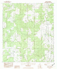
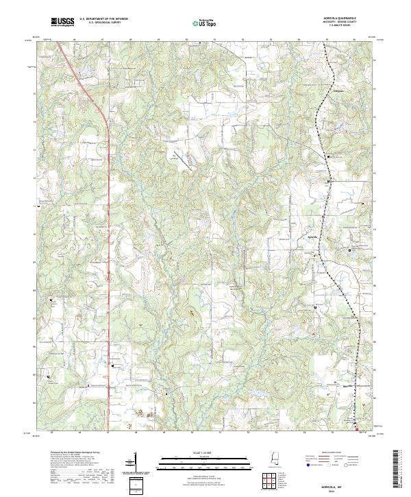
Agricola and Movella anchor this rural George County landscape, where the terrain is defined by a network of drainage systems including Big Cedar Creek and Indian Creek. The settlement pattern is largely shaped by agriculture and local commerce, evidenced by features such as the Grain Elevator and the Cedar Creek Air Ranch Airport. The community's deep-rooted history is visible through numerous family and congregational burial grounds, ranging from Barton Cem to Refuge Methodist Church Cem. Along the northern edge, Vaughan sits near the Farm Service Agency Interest Of Mississippi lands, while smaller airstrips like Sky Landings suggest a continued reliance on local aviation for land management or recreation. The map also traces the winding courses of Stout Branch and White Creek, which flow through the forested sections between these established settlements.
Find a feature on this map
135 named features on this map. Tap any name to fly to it.
Don’t see what you’re looking for? This feature index may not catch every label — zoom into the map to look around manually.
Map Details
Editions of this 2024 Agricola Map
This is the sole edition of this map. No revisions or reprints were ever made.