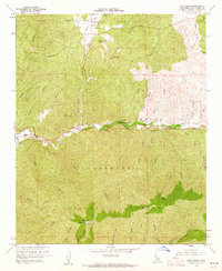
1960 Map of Agua Dulce
USGS Topo · Published 1961About this map
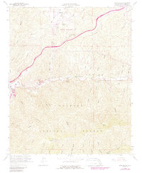
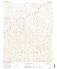
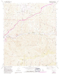
The Sierra Pelona range and the striking geological formations of Vasquez Rocks dominate this Southern California landscape during the early 1960s. The topography is defined by a dense network of steep drainages, including Agua Dulce Canyon and Escondido Canyon, which feed into the valley floor. Settlement is concentrated along the Southern Pacific railroad corridor, where the small communities of Russ and Lang are situated.
Find a feature on this map
48 named features on this map. Tap any name to fly to it.
Don’t see what you’re looking for? This feature index may not catch every label — zoom into the map to look around manually.
Map Details
Editions of this 1960 Agua Dulce Map
7 editions found
Other maps of this area

1900 · Tujunga
USGS Topo · 1:62,500

1900 · Fernando
USGS Topo · 1:62,500

1901 · Southern California Sheet No. 1
USGS Topo · 1:250,000

1904 · Southern California Sheet No. 1
USGS Topo · 1:250,000

1915 · Elizabeth Lake
USGS Topo · 1:125,000

1917 · Elizabeth Lake
USGS Topo · 1:125,000

1929 · Lang
USGS Topo · 1:24,000

1930 · Ravenna
USGS Topo · 1:24,000

1932 · Red Rover
USGS Topo · 1:24,000
1932 · Mint Canyon
USGS Topo · 1:24,000