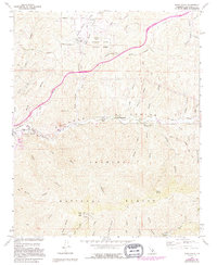
1960 Map of Agua Dulce
USGS Topo · Published 1994About this map
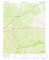
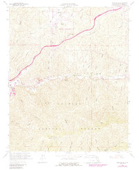
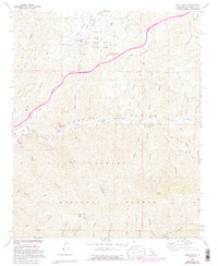
Vasquez Rocks County Park and the high desert landscape of the Sierra Pelona Mountains define this region north of Los Angeles. Originally field-checked in 1960 and updated through the early 1990s, this survey documents a period of transition as the Antelope Valley Freeway began to slice through the canyons. The Southern Pacific railroad follows the course of the Santa Clara River, passing through the small settlements of Lang and Russ. To the south, the terrain rises sharply into the Angeles National Forest, culminating at the Magic Mtn radio facility and heliport.
Find a feature on this map
53 named features on this map. Tap any name to fly to it.
Don’t see what you’re looking for? This feature index may not catch every label — zoom into the map to look around manually.
Map Details
Editions of this 1960 Agua Dulce Map
7 editions found
Other maps of this area

1900 · Tujunga
USGS Topo · 1:62,500

1900 · Fernando
USGS Topo · 1:62,500

1901 · Southern California Sheet No. 1
USGS Topo · 1:250,000

1904 · Southern California Sheet No. 1
USGS Topo · 1:250,000

1915 · Elizabeth Lake
USGS Topo · 1:125,000

1917 · Elizabeth Lake
USGS Topo · 1:125,000

1929 · Lang
USGS Topo · 1:24,000

1930 · Ravenna
USGS Topo · 1:24,000

1932 · Red Rover
USGS Topo · 1:24,000
1932 · Mint Canyon
USGS Topo · 1:24,000