Loading...
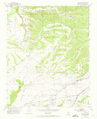
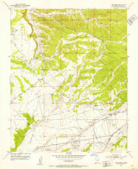
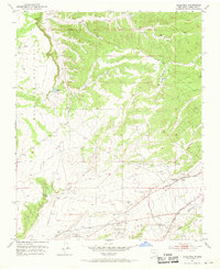
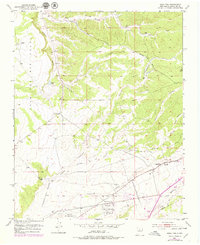
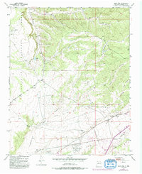
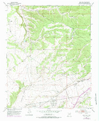
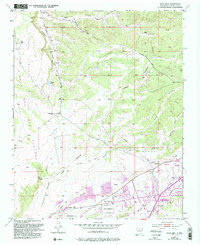
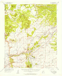
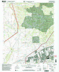
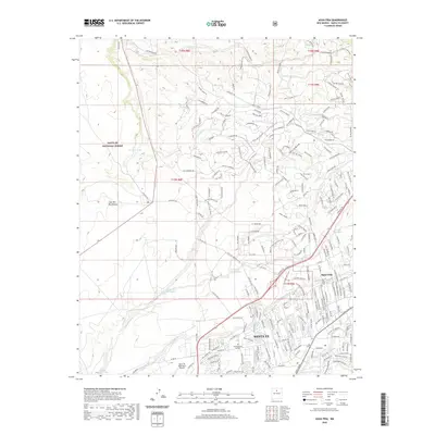
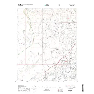
Loading map...1951 Map of Agua Fria
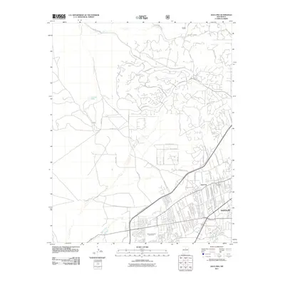
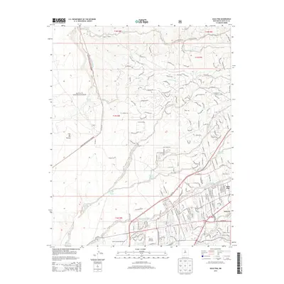
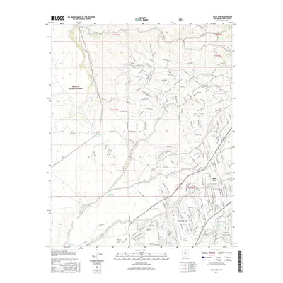
USGS Topo · Published 1973About this map
The Agua Fria settlement and its surrounding landscape reflect the historical transitions of northern New Mexico during the early 1950s. Located along the Santa Fe River, this area is defined by massive land grants including the Cajon Del Rio Grant, Cieneguilla Grant, and Pacheco Grant. The map illustrates a crossroads of transit, where the historic El Camino Real and the Central Highway meet an evolving aviation landscape marked by both the Santa Fe Municipal Airport and the Santa Fe Old Municipal Airport.
Find a feature on this map
24 named features on this map. Tap any name to fly to it.
Don’t see what you’re looking for? This feature index may not catch every label — zoom into the map to look around manually.
Map Details
Date Portrayed1951
Date Published1973
PublisherU.S. Geological Survey
Map TypeTopographic
Scale1:24,000
Physical Dimensions22.1 x 27 inches
Editions of this 1951 Agua Fria Map
7 editions found
Historical Maps of Santa Fe Through Time
8 maps found
Featured Locations
Source Details
SourceU.S. Geological Survey
CopyrightPublic Domain