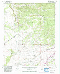
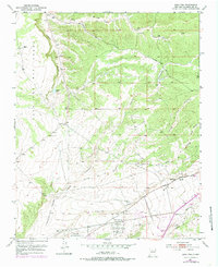
1951 Map of Agua Fria
USGS Topo · Published 1983About this map
Agua Fria and its surrounding high desert landscape are defined by a complex network of ephemeral drainages that feed toward the Santa Fe River. The terrain transitions from the protected woodland of the Santa Fe National Forest and the Caja del Rio plateau in the northwest down to the growing suburban and industrial fringes of the regional capital. The map captures a moment of mid-century expansion, where traditional landmarks like the San Isidro Cemetery sit in proximity to modern infrastructure, including the Santa Fe Municipal Airport and a Drive-in Theater. Numerous arroyos, such as Arroyo de los Frijoles and Arroyo de las Trampas, carve through the landscape, illustrating the critical role of water management and topography in New Mexico's development. This survey provides clear documentation of the early road network, including Buckman Road, and utility corridors like a prominent Pipe Line.
Find a feature on this map
25 named features on this map. Tap any name to fly to it.
Don’t see what you’re looking for? This feature index may not catch every label — zoom into the map to look around manually.
Map Details
Editions of this 1951 Agua Fria Map
7 editions found
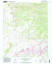
Other maps of this area

1889 · Santa Fe
USGS Topo · 1:125,000

1892 · Santa Clara
USGS Topo · 1:125,000

1894 · Santa Fe
USGS Topo · 1:125,000

1951 · Agua Fria
USGS Topo · 1:24,000

1951 · Turquoise Hill
USGS Topo · 1:24,000

1952 · Santa Fe
USGS Topo · 1:24,000

1952 · Turquoise Hill
USGS Topo · 1:24,000

1952 · Seton Village
USGS Topo · 1:24,000

1952 · White Rock
USGS Topo · 1:24,000

1952 · Montoso Peak
USGS Topo · 1:24,000