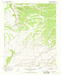
1951 Map of Agua Fria
USGS Topo · Published 1969About this map
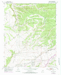
Agua Fria and the surrounding high desert plains of Santa Fe County are defined here by a network of drainage systems and Spanish land grants. The landscape is segmented by the Cajon Del Rio Grant, Cieneguilla Grant, and Pacheco Grant, reflecting centuries-old land tenure patterns. During the early 1950s, this area transitioned into a regional aviation and recreation hub, featuring the Santa Fe Municipal Airport alongside the Santa Fe Old Municipal Airport and a Race Track.
Find a feature on this map
26 named features on this map. Tap any name to fly to it.
Don’t see what you’re looking for? This feature index may not catch every label — zoom into the map to look around manually.
Map Details
Editions of this 1951 Agua Fria Map
7 editions found
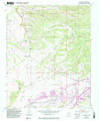
Other maps of this area

1889 · Santa Fe
USGS Topo · 1:125,000

1892 · Santa Clara
USGS Topo · 1:125,000

1894 · Santa Fe
USGS Topo · 1:125,000

1951 · Agua Fria
USGS Topo · 1:24,000

1951 · Turquoise Hill
USGS Topo · 1:24,000

1952 · Santa Fe
USGS Topo · 1:24,000

1952 · Turquoise Hill
USGS Topo · 1:24,000

1952 · Seton Village
USGS Topo · 1:24,000

1952 · White Rock
USGS Topo · 1:24,000

1952 · Montoso Peak
USGS Topo · 1:24,000