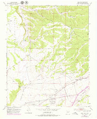
1951 Map of Agua Fria
USGS Topo · Published 1979About this map
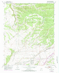
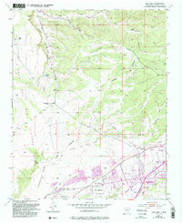
The Caja Del Rio Grant and Cieneguilla Grant dominate the western landscape of this mid-century survey, reflecting the enduring Spanish land grant legacy in the Santa Fe region. The settlement of Agua Fria serves as the primary residential hub, featuring the San Isidro Cemetery and early suburban developments like the Drive-in Theater and Trailer Park. To the south, the Santa Fe Municipal Airport and the adjacent Santa Fe Municipal Golf Course within the Pacheco Grant mark the expansion of civic infrastructure during the post-war era. The terrain is defined by a series of significant drainage systems, including Alamo Creek, Arroyo de los Frijoles, and Arroyo de las Trampas, which cut through the high desert floor. Industrial activity is represented by a Gravel Pit and various utility corridors like the Buckman Road, several pipelines, and a telephone line.
Find a feature on this map
24 named features on this map. Tap any name to fly to it.
Don’t see what you’re looking for? This feature index may not catch every label — zoom into the map to look around manually.
Map Details
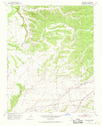
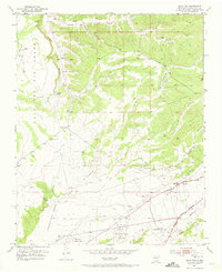
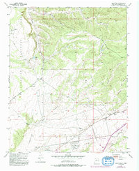
Editions of this 1951 Agua Fria Map
7 editions found
Other maps of this area

1889 · Santa Fe
USGS Topo · 1:125,000

1892 · Santa Clara
USGS Topo · 1:125,000

1894 · Santa Fe
USGS Topo · 1:125,000

1951 · Agua Fria
USGS Topo · 1:24,000

1951 · Turquoise Hill
USGS Topo · 1:24,000

1952 · Santa Fe
USGS Topo · 1:24,000

1952 · Turquoise Hill
USGS Topo · 1:24,000

1952 · Seton Village
USGS Topo · 1:24,000

1952 · White Rock
USGS Topo · 1:24,000

1952 · Montoso Peak
USGS Topo · 1:24,000