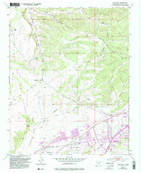
1951 Map of Agua Fria
USGS Topo · Published 1993About this map
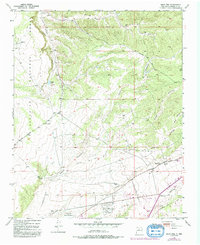
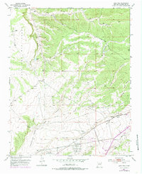
The Caja Del Rio Plateau dominates the northwestern portion of this terrain, where the Santa Fe National Forest meets a network of arroyos and historic land boundaries. This survey documents the intersection of old Spanish land grants, including the Cieneguilla Grant and the Pacheco Grant, which provide a window into the region’s traditional land-use patterns. Along the Santa Fe River, the settlement of Agua Fria is clearly visible with its local school, Agua Fria Sch, and the San Isidro Cemetery. Transport and infrastructure of the mid-20th century are evident through features like the Old Railroad Grade and Buckman Road, alongside more modern 1990s revisions including a Drive-in Theater and the Santa Fe Municipal Golf Course near the corporate boundary.
Find a feature on this map
33 named features on this map. Tap any name to fly to it.
Don’t see what you’re looking for? This feature index may not catch every label — zoom into the map to look around manually.
Map Details
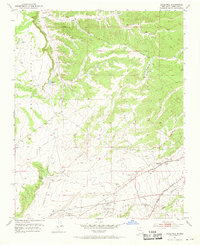
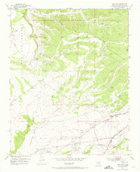
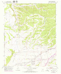
Editions of this 1951 Agua Fria Map
7 editions found
Other maps of this area

1889 · Santa Fe
USGS Topo · 1:125,000

1892 · Santa Clara
USGS Topo · 1:125,000

1894 · Santa Fe
USGS Topo · 1:125,000

1951 · Agua Fria
USGS Topo · 1:24,000

1951 · Turquoise Hill
USGS Topo · 1:24,000

1952 · Santa Fe
USGS Topo · 1:24,000

1952 · Turquoise Hill
USGS Topo · 1:24,000

1952 · Seton Village
USGS Topo · 1:24,000

1952 · White Rock
USGS Topo · 1:24,000

1952 · Montoso Peak
USGS Topo · 1:24,000