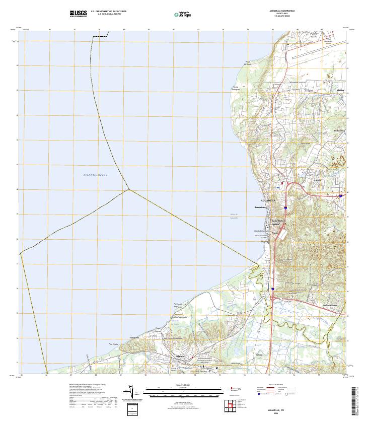
2024 Map of Aguadilla
USGS Topo · Published 2024About this map
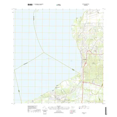
The coastal northwest of Puerto Rico is dominated here by the urban center of Aguadilla and the neighboring municipality of Aguada. Settlement patterns follow the sweeping curve of the Bahía de Aguadilla, from the northern heights of Punta Borinquen down to the low-lying wetlands of the Río Culebrinas delta. Notable institutional landmarks include the Rafael Hernandez Airport and the Universidad de Puerto Rico en Aguadilla, signaling the area's role as a regional transportation and educational hub.
Find a feature on this map
59 named features on this map. Tap any name to fly to it.
Don’t see what you’re looking for? This feature index may not catch every label — zoom into the map to look around manually.
Map Details
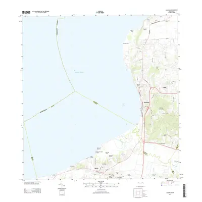
Editions of this 2024 Aguadilla Map
This is the sole edition of this map. No revisions or reprints were ever made.
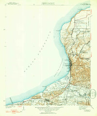
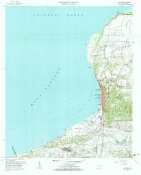
Historical Maps of Aguadilla Through Time
6 maps found

Featured Locations
- Sector Monte Brujo, Aguadilla
- Cerro Juan Vega, Aguadilla
- Valles del Rocío, Aguadilla
- Aguadilla, Aguadilla
- Aguada, Aguada