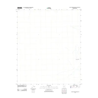
2011 Map of Aguila Mountains NW
USGS Topo · Published 2011About this map
Aguila Mountains define the eastern edge of this 2011 topographic study in the arid basin and range region of Yuma County. The map is primarily characterized by ephemeral desert washes and the gradual alluvial fans that slope away from the main peaks. This U.S. Geological Survey representation reflects the modern landscape of the Arizona desert, highlighting the intermittent water drainage patterns that dominate the terrain north and west of the primary mountain block. The presence of four-wheel-drive trails and local roads suggests a landscape managed for resource access or seasonal transit through this remote section of the southwestern United States.
Find a feature on this map
1 named feature on this map. Tap any name to fly to it.
Don’t see what you’re looking for? This feature index may not catch every label — zoom into the map to look around manually.
Map Details
Editions of this 2011 Aguila Mountains NW Map
This is the sole edition of this map. No revisions or reprints were ever made.
Other maps of this area

1927 · Aguila Mountains
USGS Topo · 1:48,000

1927 · Kim
USGS Topo · 1:62,500

1929 · Aztec
USGS Topo · 1:62,500

1930 · Aguila Mountains
USGS Topo · 1:62,500

1930 · Stoval
USGS Topo · 1:62,500

1931 · Kim
USGS Topo · 1:62,500

1950 · Stoval
USGS Topo · 1:62,500

1950 · Aztec
USGS Topo · 1:62,500

1953 · Ajo
USGS Topo · 1:250,000

1957 · Ajo
USGS Topo · 1:250,000