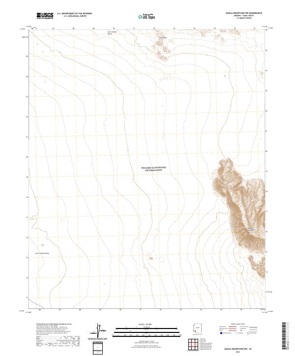
2021 Map of Aguila Mountains NW
USGS Topo · Published 2021About this map
Aguila Mountains rise sharply in the southeastern corner of this quadrangle, creating a dramatic topographical contrast to the broad expanse of the San Cristobal Valley that dominates the western landscape. This region of Yuma County is defined by its austere desert character and the rectilinear precision of the Public Land Survey System, with township and range lines like t8s r11w and t9s r11.5w segmenting the arid terrain. The map captures the natural drainage patterns and elevation shifts from the Aztec Hills in the north toward the valley floor, illustrating a corner of Arizona where the land remains largely defined by its geologic features rather than human settlement. Researchers of desert geography will find a clear record of the area's unadulterated terrain and the specific cadastral boundaries established by the Bureau of Land Management.
Find a feature on this map
9 named features on this map. Tap any name to fly to it.
Don’t see what you’re looking for? This feature index may not catch every label — zoom into the map to look around manually.
Map Details
Editions of this 2021 Aguila Mountains NW Map
This is the sole edition of this map. No revisions or reprints were ever made.
Other maps of this area

1927 · Aguila Mountains
USGS Topo · 1:48,000

1927 · Kim
USGS Topo · 1:62,500

1929 · Aztec
USGS Topo · 1:62,500

1930 · Aguila Mountains
USGS Topo · 1:62,500

1930 · Stoval
USGS Topo · 1:62,500

1931 · Kim
USGS Topo · 1:62,500

1950 · Stoval
USGS Topo · 1:62,500

1950 · Aztec
USGS Topo · 1:62,500

1953 · Ajo
USGS Topo · 1:250,000

1957 · Ajo
USGS Topo · 1:250,000