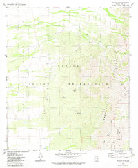
1979 Map of Aguirre Peak
USGS Topo · Published 1982About this map
Aguirre Peak anchors this corner of the Sonoran desert during the late 1970s, where the high ridges of the Baboquivari Mountains drop sharply into the Baboquivari Valley. Located within the Papago Indian Reservation, the landscape is defined by its arid drainage systems, including Chutum Vaya Wash and Coyote Wash. The map documents traditional land use and habitation sites through labels like Kuit Vaya (Site) and Chui Vaya (Site), alongside a lone Cem (cemetery) and several wells such as Bear Well. These water sources and seasonal washes were critical for life in this environment. The presence of several Prospect markings and a network of unimproved roads and a Jeep Trail suggest a history of exploration and ranching, with a Corral and various dams marking the human attempt to manage the desert's scarce resources.
Find a feature on this map
39 named features on this map. Tap any name to fly to it.
Don’t see what you’re looking for? This feature index may not catch every label — zoom into the map to look around manually.
Map Details
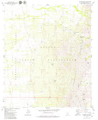
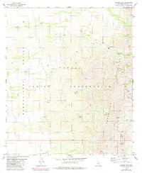
Editions of this 1979 Aguirre Peak Map
3 editions found
Other maps of this area

1941 · Presumido Peak
USGS Topo · 1:62,500

1941 · Baboquivari Peak
USGS Topo · 1:62,500

1941 · Vamori
USGS Topo · 1:62,500

1941 · Sells
USGS Topo · 1:62,500

1943 · Sells
USGS Topo · 1:62,500

1943 · Fresnal
USGS Topo · 1:125,000

1943 · Presumido Peak
USGS Topo · 1:62,500

1943 · Vamori
USGS Topo · 1:62,500

1944 · Baboquivari Peak
USGS Topo · 1:62,500

1956 · Nogales
USGS Topo · 1:250,000