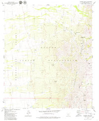
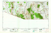
1979 Map of Aguirre Peak
USGS Topo · Published 1979About this map
Chutum Vaya sits at the junction of the desert floor and the rising slopes of the Baboquivari Mountains on the Papago Indian Reservation. This landscape is defined by the ephemeral flow of the Chutum Vaya Wash and Coyote Wash, where water management was critical to survival. The map documents several important cultural locations, including Kuit Vaya (Site) and Chui Vaya (Site), as well as a small Cem tucked near the wash.
Find a feature on this map
38 named features on this map. Tap any name to fly to it.
Don’t see what you’re looking for? This feature index may not catch every label — zoom into the map to look around manually.
Map Details
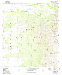
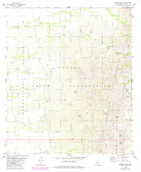
Editions of this 1979 Aguirre Peak Map
3 editions found
Other maps of this area
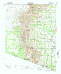
1941 · Presumido Peak
USGS Topo · 1:62,500
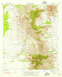
1941 · Baboquivari Peak
USGS Topo · 1:62,500
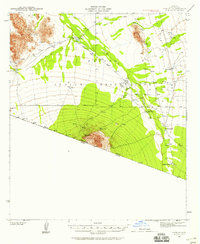
1941 · Vamori
USGS Topo · 1:62,500
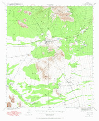
1941 · Sells
USGS Topo · 1:62,500
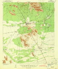
1943 · Sells
USGS Topo · 1:62,500
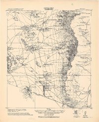
1943 · Fresnal
USGS Topo · 1:125,000
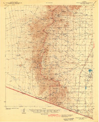
1943 · Presumido Peak
USGS Topo · 1:62,500
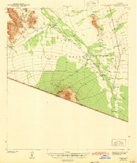
1943 · Vamori
USGS Topo · 1:62,500
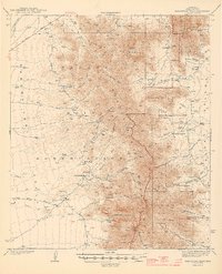
1944 · Baboquivari Peak
USGS Topo · 1:62,500
1956 · Nogales
USGS Topo · 1:250,000