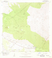
1956 Map of Ahumoa
USGS Topo · Published 1970About this map
The high-altitude slopes of Mauna Kea define this 1950s landscape, where conservation and military utility intersect on Hawaii Island. The central corridor is dominated by the Pohakuloa Training Area, supported by infrastructure like Pohakuloa Camp and the Pohakuloa Ranger Station. Transport and communication are marked by the critical Saddle Road and a network of jeep trails, alongside a Radio Station and Landing Field near Ahumoa.
Find a feature on this map
39 named features on this map. Tap any name to fly to it.
Don’t see what you’re looking for? This feature index may not catch every label — zoom into the map to look around manually.
Map Details
Editions of this 1956 Ahumoa Map
2 editions found
Other maps of this area

1927 · Kaohe
USGS Topo · 1:62,500

1930 · Humuula
USGS Topo · 1:62,500

1930 · Kaohe
USGS Topo · 1:62,500

1954 · Hawaii North
USGS Topo · 1:250,000

1956 · Puu Oo
USGS Topo · 1:24,000

1956 · Puu Koli
USGS Topo · 1:24,000

1956 · Keamuku
USGS Topo · 1:24,000

1956 · Nohonaohae
USGS Topo · 1:24,000

1956 · Makahalau
USGS Topo · 1:24,000
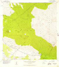
1956 · Ahumoa
USGS Topo · 1:24,000