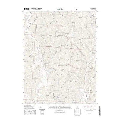
2013 Map of Aid
USGS Topo · Published 2013About this map
Wayne National Forest land dominates this section of Lawrence County, where a network of ridgelines and hollows dictates the pattern of rural settlement. Small communities like Willow Wood and Scottown are established along the winding paths of State Rte 217 and State Rte 775, reflecting the area's history of upland farming and timbering. The landscape is deeply carved by drainage systems including Symmes Creek and Indian Guyan Cr, which flow through valleys such as Shebear Hollow and Payne Hollow.
Find a feature on this map
76 named features on this map. Tap any name to fly to it.
Don’t see what you’re looking for? This feature index may not catch every label — zoom into the map to look around manually.
Map Details
Editions of this 2013 Aid Map
This is the sole edition of this map. No revisions or reprints were ever made.
Other maps of this area

1892 · Huntington
USGS Topo · 1:125,000

1898 · Huntington
USGS Topo · 1:125,000

1898 · Ironton
USGS Topo · 1:62,500

1900 · Ironton
USGS Topo · 1:62,500

1901 · Guyandot
USGS Topo · 1:62,500

1901 · Ceredo
USGS Topo · 1:62,500

1902 · Guyandot
USGS Topo · 1:62,500

1903 · Kenova
USGS Topo · 1:125,000

1904 · Kenova
USGS Topo · 1:125,000

1906 · Athalia
USGS Topo · 1:62,500