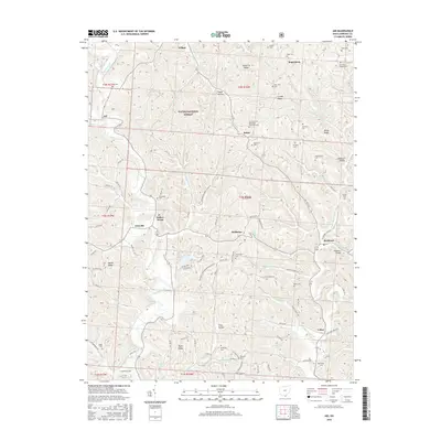
2016 Map of Aid
USGS Topo · Published 2016About this map
Wayne National Forest land covers much of this section of Lawrence County, where small rural settlements are scattered along the narrow creek valleys and ridgelines. The village of Aid sits at the junction of Symmes Creek and McLoss Cr, serving as a central point for the surrounding farming and timber landscape. Further east, the community of Scottown is marked by the Scottown Bridge and its proximity to Little Indian Guyan Cr.
Find a feature on this map
115 named features on this map. Tap any name to fly to it.
Don’t see what you’re looking for? This feature index may not catch every label — zoom into the map to look around manually.
Map Details
Editions of this 2016 Aid Map
This is the sole edition of this map. No revisions or reprints were ever made.
Other maps of this area

1892 · Huntington
USGS Topo · 1:125,000

1898 · Huntington
USGS Topo · 1:125,000

1898 · Ironton
USGS Topo · 1:62,500

1900 · Ironton
USGS Topo · 1:62,500

1901 · Guyandot
USGS Topo · 1:62,500

1901 · Ceredo
USGS Topo · 1:62,500

1902 · Guyandot
USGS Topo · 1:62,500

1903 · Kenova
USGS Topo · 1:125,000

1904 · Kenova
USGS Topo · 1:125,000

1906 · Athalia
USGS Topo · 1:62,500