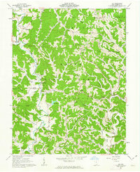
1961 Map of Aid
USGS Topo · Published 1963About this map
Symmes Creek carves a central path through this landscape of the Wayne National Forest in southern Ohio, where 1960s mapping reveals a network of ridge-top settlements and creek-side communities. The area is defined by its deep hollows and prominent ridges like Ellsworth Ridge and Dillon Ridge, with small villages such as Aid, Willow Wood, and Scottown serving as local hubs. For genealogists, the map is remarkably dense with family-named landmarks and rural burial grounds, including the Gallicat Cem, Kingrey Cem, and Harvey Cem.
Find a feature on this map
84 named features on this map. Tap any name to fly to it.
Don’t see what you’re looking for? This feature index may not catch every label — zoom into the map to look around manually.
Map Details
Editions of this 1961 Aid Map
This is the sole edition of this map. No revisions or reprints were ever made.
Other maps of this area

1892 · Huntington
USGS Topo · 1:125,000

1898 · Huntington
USGS Topo · 1:125,000

1898 · Ironton
USGS Topo · 1:62,500

1900 · Ironton
USGS Topo · 1:62,500

1901 · Guyandot
USGS Topo · 1:62,500

1901 · Ceredo
USGS Topo · 1:62,500

1902 · Guyandot
USGS Topo · 1:62,500

1903 · Kenova
USGS Topo · 1:125,000

1904 · Kenova
USGS Topo · 1:125,000

1906 · Athalia
USGS Topo · 1:62,500