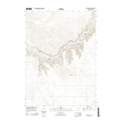
2014 Map of Ainsworth NW
USGS Topo · Published 2014About this map
Antelope Peak stands as a prominent high point in this 2014 landscape of northern Nebraska, overseeing a complex network of erosional drainages and water features. The terrain is defined by a dense concentration of named canyons, such as Bill White Canyon, Horsethief Canyons, and Broyer Canyon, which reveal the deep dissection of the local plateau by wind and water over time.
Find a feature on this map
13 named features on this map. Tap any name to fly to it.
Don’t see what you’re looking for? This feature index may not catch every label — zoom into the map to look around manually.
Map Details
Editions of this 2014 Ainsworth NW Map
This is the sole edition of this map. No revisions or reprints were ever made.
Other maps of this area

1949 · Dutch Creek
USGS Topo · 1:24,000

1950 · Norden
USGS Topo · 1:62,500

1950 · Meadville
USGS Topo · 1:24,000

1950 · Huddle Table
USGS Topo · 1:24,000

1950 · Dutch Creek
USGS Topo · 1:24,000

1950 · Wood Lake
USGS Topo · 1:62,500

1952 · Norden
USGS Topo · 1:62,500

1954 · Ainsworth NW
USGS Topo · 1:24,000

1954 · Ainsworth SW
USGS Topo · 1:24,000

1954 · Ainsworth
USGS Topo · 1:24,000