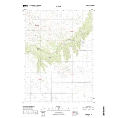
2017 Map of Ainsworth NW
USGS Topo · Published 2017About this map
Antelope Peak rises above a highly dissected landscape in this Brown County survey, where the drainages of Plum Cr and Deep Cr have carved a series of intricate canyon systems. The terrain is characterized by complex geological formations, including the White Cliffs and a network of named ravines such as Horsethief Canyons and Bill White Canyon. These features suggest a topography that has historically dictated settlement patterns and land use, with most activity concentrated around water sources like Pine Canyon Reservoir.
Find a feature on this map
18 named features on this map. Tap any name to fly to it.
Don’t see what you’re looking for? This feature index may not catch every label — zoom into the map to look around manually.
Map Details
Editions of this 2017 Ainsworth NW Map
This is the sole edition of this map. No revisions or reprints were ever made.
Other maps of this area

1949 · Dutch Creek
USGS Topo · 1:24,000

1950 · Norden
USGS Topo · 1:62,500

1950 · Meadville
USGS Topo · 1:24,000

1950 · Huddle Table
USGS Topo · 1:24,000

1950 · Dutch Creek
USGS Topo · 1:24,000

1950 · Wood Lake
USGS Topo · 1:62,500

1952 · Norden
USGS Topo · 1:62,500

1954 · Ainsworth NW
USGS Topo · 1:24,000

1954 · Ainsworth SW
USGS Topo · 1:24,000

1954 · Ainsworth
USGS Topo · 1:24,000