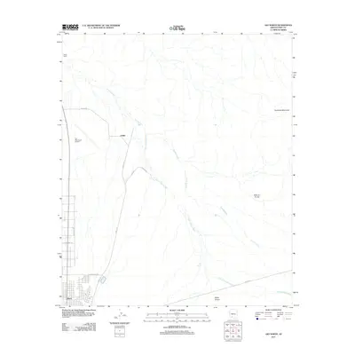
2011 Map of Ajo North
USGS Topo · Published 2011About this map
Gibson and the residential grid of northern Ajo anchor the southwestern corner of this desert landscape, where the settlement meets the open basin. Northward, the small outpost of Childs and the nearby Childs Ranch stand along N Well Rd, illustrating the sparse but enduring habitation of this arid region. The drainage network is a defining characteristic of the terrain, dominated by the long southward reaches of Tenmile Wash and Sikort Chuapo Wash, which eventually converge as they flow toward Rio Cornez and Darby Arroyo.
Find a feature on this map
18 named features on this map. Tap any name to fly to it.
Don’t see what you’re looking for? This feature index may not catch every label — zoom into the map to look around manually.
Map Details
Editions of this 2011 Ajo North Map
This is the sole edition of this map. No revisions or reprints were ever made.
Other maps of this area

1932 · Ajo
USGS Topo · 1:62,500

1934 · Ajo
USGS Topo · 1:62,500

1953 · Ajo
USGS Topo · 1:250,000

1957 · Ajo
USGS Topo · 1:250,000

1958 · Ajo
USGS Topo · 1:250,000

1958 · Midway
USGS Topo · 1:62,500

1958 · Hat Mountain
USGS Topo · 1:62,500

1962 · Ajo
USGS Topo · 1:250,000

1963 · Ajo
USGS Topo · 1:250,000

1963 · Ajo
USGS Topo · 1:62,500