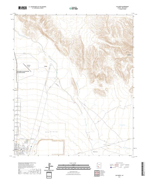
2021 Map of Ajo North
USGS Topo · Published 2021About this map
The Valley of the Ajo provides a stark contrast between the low-lying desert floor and the rising elevations of the Batamote Mountains in this Pima County landscape. The settlement of Gibson serves as a residential hub near the Ajo Cem, where the street grid transitions from the organized avenues of N Cameron Ave and N Jefferson Ave into the open desert. The presence of the Eric Marcus Municipal Airport and N Ajo Well No 1 Rd highlights the area's modern utility and connectivity.
Find a feature on this map
46 named features on this map. Tap any name to fly to it.
Don’t see what you’re looking for? This feature index may not catch every label — zoom into the map to look around manually.
Map Details
Editions of this 2021 Ajo North Map
This is the sole edition of this map. No revisions or reprints were ever made.
Other maps of this area

1932 · Ajo
USGS Topo · 1:62,500

1934 · Ajo
USGS Topo · 1:62,500

1953 · Ajo
USGS Topo · 1:250,000

1957 · Ajo
USGS Topo · 1:250,000

1958 · Ajo
USGS Topo · 1:250,000

1958 · Midway
USGS Topo · 1:62,500

1958 · Hat Mountain
USGS Topo · 1:62,500

1962 · Ajo
USGS Topo · 1:250,000

1963 · Ajo
USGS Topo · 1:250,000

1963 · Ajo
USGS Topo · 1:62,500