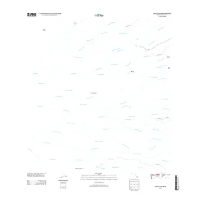
2013 Map of Akaka Falls
USGS Topo · Published 2013About this map
Akaka Falls and the dramatic vertical topography of the windward Hamakua Coast define this 2013 landscape on the Island of Hawai‘i. A dense network of parallel waterways, including the Hakalau Stream, Kolekole Stream, and Honoli‘i Stream, carves deep paths through the volcanic slopes toward the Pacific. The presence of Maukaloa Camp and Kahuā Ranch reflects the region's agricultural and ranching heritage, while several significant cataracts such as Kahūnā Falls and Wahiloa Falls punctuate the drainage basins. Inland, the Hilo Closed Watershed preserves the critical water resources of the island. Local roads like Chin Chuck Rd and Kaiwiki Rd provide access to these remote gulches, which are interspersed with features like Wailepua Spring and the prominent height of Ka‘uku.
Find a feature on this map
41 named features on this map. Tap any name to fly to it.
Don’t see what you’re looking for? This feature index may not catch every label — zoom into the map to look around manually.
Map Details
Editions of this 2013 Akaka Falls Map
This is the sole edition of this map. No revisions or reprints were ever made.
Other maps of this area

1915 · Honomu
USGS Topo · 1:62,500

1917 · Hilo
USGS Topo · 1:62,500

1930 · Humuula
USGS Topo · 1:62,500

1932 · Hilo
USGS Topo · 1:62,500

1954 · Hawaii North
USGS Topo · 1:250,000

1956 · Pua Akala
USGS Topo · 1:24,000

1956 · Keanakolu
USGS Topo · 1:24,000

1956 · Upper Piihonua
USGS Topo · 1:24,000

1959 · Hawaii North
USGS Topo · 1:250,000

1961 · Hawaii North
USGS Topo · 1:250,000