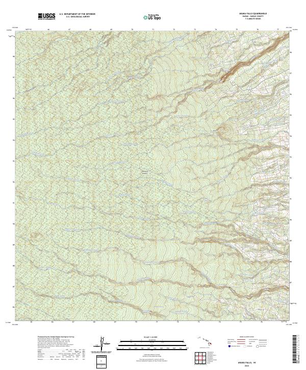
2024 Map of Akaka Falls
USGS Topo · Published 2024About this map
The windward slopes of the Island of Hawai'i are defined by a complex network of drainage systems, most notably the towering Akaka Falls and nearby Kahuna Falls. This landscape transition from the coastal reaches near the settlement of Ka'uku to the protected high-elevation canopies of the Hakalau Forest National Wildlife Refuge. The map reveals the intricate water network feeding the Hamakua Coast, where significant features like Waimi Falls, Wailua Falls, and the Wailua-pua Spring emerge from the dense tropical terrain.
Find a feature on this map
39 named features on this map. Tap any name to fly to it.
Don’t see what you’re looking for? This feature index may not catch every label — zoom into the map to look around manually.
Map Details
Editions of this 2024 Akaka Falls Map
This is the sole edition of this map. No revisions or reprints were ever made.
Other maps of this area

1915 · Honomu
USGS Topo · 1:62,500

1917 · Hilo
USGS Topo · 1:62,500

1930 · Humuula
USGS Topo · 1:62,500

1932 · Hilo
USGS Topo · 1:62,500

1954 · Hawaii North
USGS Topo · 1:250,000

1956 · Pua Akala
USGS Topo · 1:24,000

1956 · Keanakolu
USGS Topo · 1:24,000

1956 · Upper Piihonua
USGS Topo · 1:24,000

1959 · Hawaii North
USGS Topo · 1:250,000

1961 · Hawaii North
USGS Topo · 1:250,000