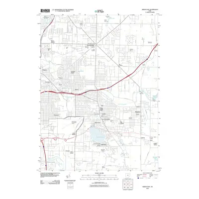
2010 Map of Akron East
USGS Topo · Published 2010About this map
The suburban and industrial expansion of eastern Summit County is well-defined by the Tallmadge and Ellet neighborhoods. The landscape is marked by significant transit and recreational infrastructure, notably the Akron Fulton International Airport and the legendary soapbox derby track at Derby Downs. Local history and genealogy are anchored by several established burial grounds, including the Old Tallmadge Cemetery, New Tallmadge Cemetery, and the Edwin Shaw Sanitarium Cemetery.
Find a feature on this map
89 named features on this map. Tap any name to fly to it.
Don’t see what you’re looking for? This feature index may not catch every label — zoom into the map to look around manually.
Map Details
Editions of this 2010 Akron East Map
This is the sole edition of this map. No revisions or reprints were ever made.
Other maps of this area

1901 · Massillon
USGS Topo · 1:62,500

1901 · Canton
USGS Topo · 1:62,500

1903 · Massillon
USGS Topo · 1:62,500

1903 · Canton
USGS Topo · 1:62,500

1903 · Akron
USGS Topo · 1:62,500

1905 · Akron
USGS Topo · 1:62,500

1906 · Kent
USGS Topo · 1:62,500

1950 · Cleveland
USGS Topo · 1:250,000

1951 · Canton
USGS Topo · 1:250,000

1953 · Canton
USGS Topo · 1:250,000