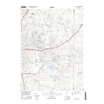
2016 Map of Akron East
USGS Topo · Published 2016About this map
Akron’s eastern reaches are defined by a dense network of suburban development and industrial history, centered on the transit corridors of the Wheeling and Lake Erie RR and the Akron Fulton International Airport. This era shows the mature integration of the Little Cuyahoga River through established neighborhoods like Goodyear Heights, Ellet, and Brittain. The map reflects a landscape where early twentieth-century industry gave way to residential expansion, yet remains dotted with numerous commemorative sites, from the Old Tallmadge Cem to the Edwin Shaw Sanitarium Cem.
Find a feature on this map
53 named features on this map. Tap any name to fly to it.
Don’t see what you’re looking for? This feature index may not catch every label — zoom into the map to look around manually.
Map Details
Editions of this 2016 Akron East Map
This is the sole edition of this map. No revisions or reprints were ever made.
Other maps of this area

1901 · Massillon
USGS Topo · 1:62,500

1901 · Canton
USGS Topo · 1:62,500

1903 · Massillon
USGS Topo · 1:62,500

1903 · Canton
USGS Topo · 1:62,500

1903 · Akron
USGS Topo · 1:62,500

1905 · Akron
USGS Topo · 1:62,500

1906 · Kent
USGS Topo · 1:62,500

1950 · Cleveland
USGS Topo · 1:250,000

1951 · Canton
USGS Topo · 1:250,000

1953 · Canton
USGS Topo · 1:250,000