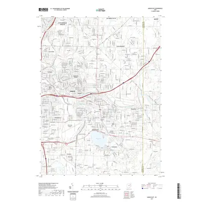
2019 Map of Akron East
USGS Topo · Published 2019About this map
Akron's eastern reaches and the suburban sprawl of Tallmadge and Cuyahoga Falls dominate this 2019 survey, showcasing a landscape defined by industrial history and water management. The urban core of East Akron gives way to the planned community of Goodyear Heights, while the southern portion of the sheet is anchored by Springfield Lake and the Akron Fulton International Airport. The infrastructure of the Wheeling and Lake Erie Railway snakes through the terrain, connecting legacy industrial sites like Coal Hill with the growing residential areas in Ellet and Mogadore.
Find a feature on this map
56 named features on this map. Tap any name to fly to it.
Don’t see what you’re looking for? This feature index may not catch every label — zoom into the map to look around manually.
Map Details
Editions of this 2019 Akron East Map
This is the sole edition of this map. No revisions or reprints were ever made.
Other maps of this area

1901 · Massillon
USGS Topo · 1:62,500

1901 · Canton
USGS Topo · 1:62,500

1903 · Massillon
USGS Topo · 1:62,500

1903 · Canton
USGS Topo · 1:62,500

1903 · Akron
USGS Topo · 1:62,500

1905 · Akron
USGS Topo · 1:62,500

1906 · Kent
USGS Topo · 1:62,500

1950 · Cleveland
USGS Topo · 1:250,000

1951 · Canton
USGS Topo · 1:250,000

1953 · Canton
USGS Topo · 1:250,000