Loading...
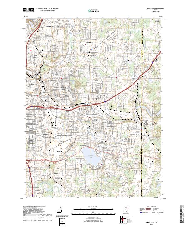
Loading map...2023 Map of Akron East
USGS Topo · Published 2023About this map
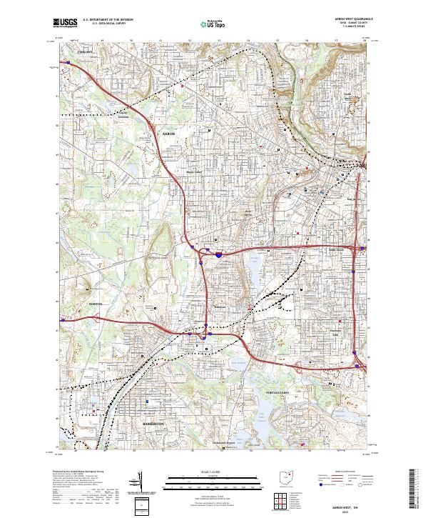
Industrial and residential development patterns define this portion of the Summit County landscape, where the sprawling grounds of Akron Fulton International Airport sit south of the Brittain and Ellet neighborhoods. The area serves as a significant junction between several established communities, including Akron, Tallmadge, and Mogadore, linked by a dense network of surface streets and county routes like Co Rte 18.
Find a feature on this map
57 named features on this map. Tap any name to fly to it.
Don’t see what you’re looking for? This feature index may not catch every label — zoom into the map to look around manually.
Map Details
Date Portrayed2023
Date Published2023
PublisherU.S. Geological Survey
Map TypeTopographic
Scale1:24000
Physical Dimensions24 x 29 inches
Editions of this 2023 Akron East Map
This is the sole edition of this map. No revisions or reprints were ever made.
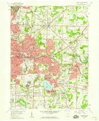
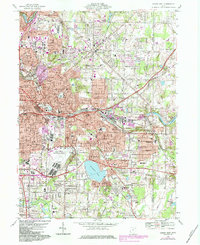
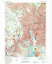
Historical Maps of Tallmadge Town Square Historic District Through Time
8 maps found

Featured Locations
Source Details
SourceU.S. Geological Survey
CopyrightPublic Domain