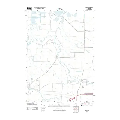
2010 Map of Akron
USGS Topo · Published 2010About this map
Tonawanda Creek snakes through the center of this landscape, defining the geography of the borderlands between Erie and Genesee counties. The village of Akron sits in the southwest corner, adjacent to Murder Creek and the Akron Airport. The area is notably dense with early burial grounds, including the Four Corners Cemetery and several religious sites like the Saint Theresa Roman Catholic Cemetery and the Presbyterian Church Cemetery.
Find a feature on this map
66 named features on this map. Tap any name to fly to it.
Don’t see what you’re looking for? This feature index may not catch every label — zoom into the map to look around manually.
Map Details
Editions of this 2010 Akron Map
This is the sole edition of this map. No revisions or reprints were ever made.
Other maps of this area

1897 · Medina
USGS Topo · 1:62,500

1897 · Lockport
USGS Topo · 1:62,500

1899 · Niagara
USGS Topo · 1:125,000

1902 · Lockport
USGS Topo · 1:62,500

1905 · Attica
USGS Topo · 1:62,500

1905 · Depew
USGS Topo · 1:62,500

1905 · Lockport
USGS Topo · 1:62,500

1944 · Alexander
USGS Topo · 1:31,680

1948 · Depew
USGS Topo · 1:62,500

1948 · Lockport
USGS Topo · 1:62,500